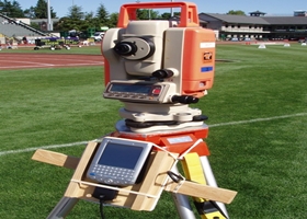
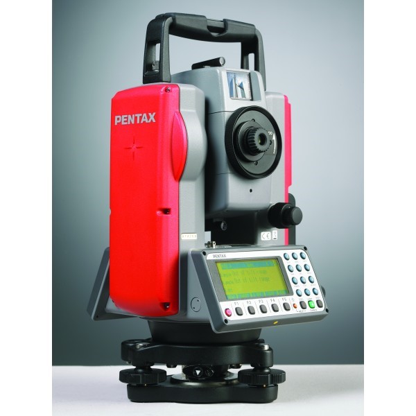
Total station survey (Pentax-rv425)
It is an electronic theodolite (transit) integrated with an electronic distance meter (EDM) to read slope distances from the instrument to a particular point. Robotic total stations allow the operator to control the instrument from a distance via remote control.
Global Positioning System
It is a space-based satellite navigation system that provides location and time information in all weather conditions, anywhere on or near the earth where there is an unobstructed line of sight to four or more GPS satellites.
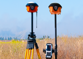
DGPS survey (navcom land pak 3040)
(DGPS) is an enhancement to Global Positioning System that provides improved location accuracy, from the 15-meter nominal GPS accuracy to about 10 cm in case of the best implementations.


